
On December 28, 2022, Government of India notified the 2022 National Geospatial Policy on for implementation with immediate effect with the goal of making India a world leader in the Global Geospatial Sector. It aims to establish high-resolution topographical survey and mapping by 2030, along with a highly accurate Digital Elevation Model (DEM) for the nation.
The National Geospatial Policy, 2022 is a citizen-centric policy that liberalizes the geospatial sector and democratizes the datasets generated by the use of public funds. The Policy spells out the vision, and goals and also outlines the approach and strategy for the holistic development of the geospatial ecosystem in our country.
It aims to develop the Geospatial Infrastructures and also seeks to strengthen the national and sub-national arrangements for the generation and management of geospatial information. It recognizes that the citizens, communities, government, local bodies, businesses, and academia in India need to be empowered with freely available Geospatial data, services, and solutions.
Department of Science and Technology (DST) intends to promote the use/reuse of geospatial data/products/solutions/services by providing open data/services/solutions through a network of Geospatial Platforms at national and sub-national levels.
The Policy seeks to create, nurture and develop a geospatial ecosystem that would enable and encourage spatial thinking, add to geospatial knowledge, strengthen geospatial infrastructure, augment capacity building and promote effective use of Geospatial Data, Products, Services, and Solutions (GDPSS) and boost geospatial entrepreneurship.
Bureau of Indian Standards (BIS), being the national standards body of India is playing a crucial role in developing and maintaining standards related to geospatial data. LITD 22 Geospatial Information Sectional Committee is the core committee of BIS which caters to standardization of information concerning objects or phenomena that are directly or indirectly associated with a location relative to the Earth.
The committee has published 12 standards so far including important standards on Metadata standard for geospatial information (IS 16439 : 2016), Geography markup language (GML) (IS 16626 : 2017/ISO 19136-1 : 2007, IS 16626 (Part 2) : 2018/ISO 19136-2 : 2015), Data exchange standard for geospatial information (IS 16554 : 2017) etc. 14 standards in the domain are also currently under development in the committee.
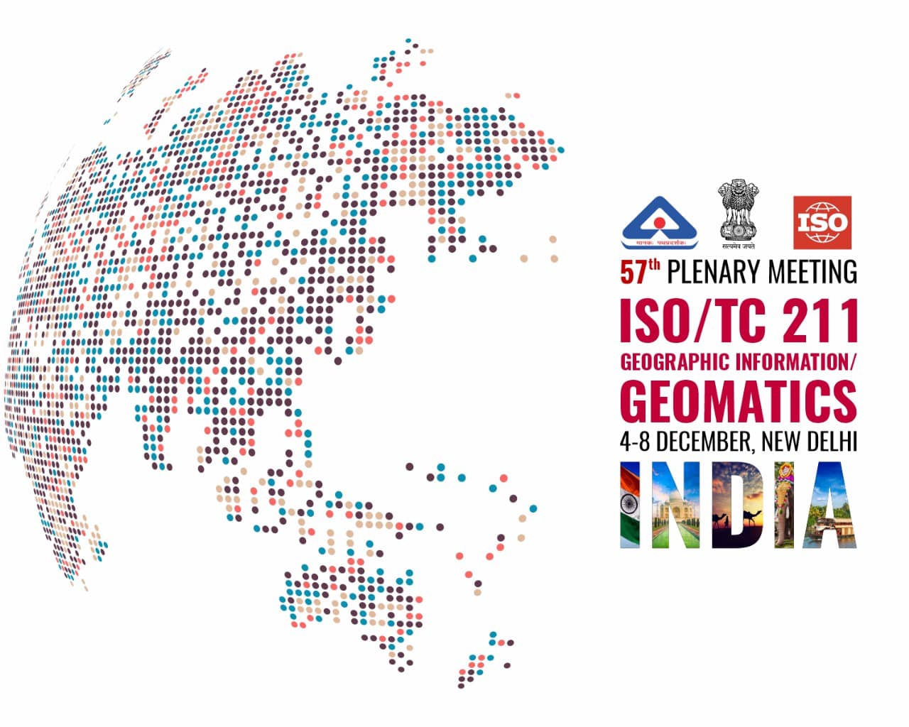
LITD 22 is the national mirror committee for ISO/TC 211 Geographic information/Geomatics. India (BIS) is hosting 57th plenary meeting of ISO TC211 Geographic information/Geomatics along with its working groups during 4th to 8th December 2023 at New Delhi with a day dedicated for Seminar “TC 211 Geographic Information – Standards in Action Seminar” scheduled on 06 Dec 2023. The details of the event can also be viewed through the website: https://committee.iso.org/sites/tc211/home/plenary-meeting/57th-plenary-meeting-new-delhi.html
Go Back